

About Kurşunlu
A district in the Devrez River valley in western Çankırı, at an elevation of approximately 1,114 metres. Its former name was Karacaviran.
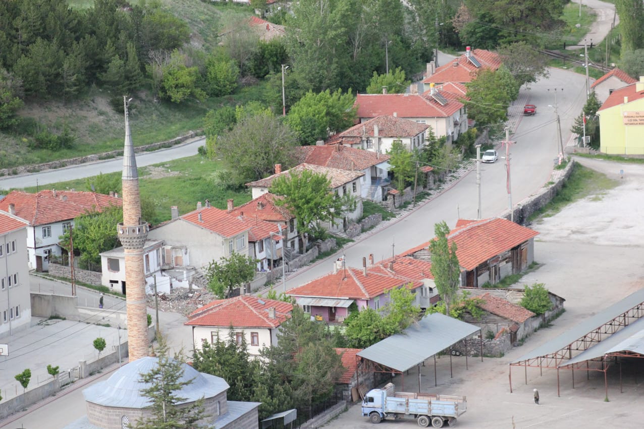
Throughout history, Kurşunlu has stood on a geographical corridor leading from the Black Sea to Central Anatolia. On this transport route linking east and west, it was an important settlement for the Hittites, Romans, Byzantines, Seljuks and Ottomans.
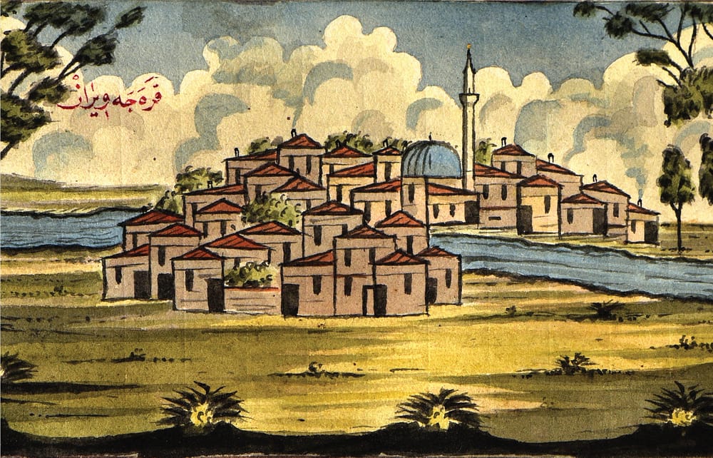
On the hill south of the district, approximately 450 metres of the fortifications of Byzantine Anadinata Castle survive. During the Ottoman period, Kurşunlu was a district of the Çankırı sanjak and a posting town on the road east from Istanbul. An embassy delegation travelling to Iran stopped here in 1811; Osman Şakir Efendi's watercolour is an early depiction of the town.
In the twentieth century, the Irmak–Filyos railway passed through the Devrez valley. Folk dances, oral history, local dress, thermal springs and railway memory shape the district's identity today.
The sequence followed by the Congress sessions mirrors the town's own history.
- 2nd millennium BC
Hittite routes
On the corridor leading from the Black Sea to Central Anatolia—a passage that, in the words of the Congress invitation, has linked east and west for five thousand years.
- 1st millennium BC – 4th century AD
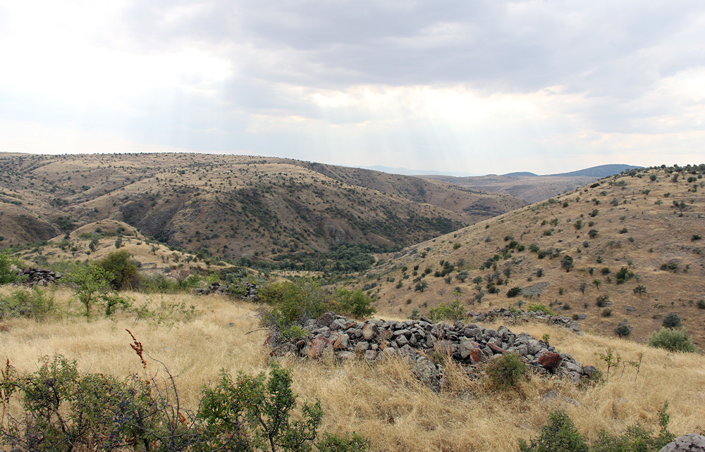
Paphlagonia
The southern part of the region ancient authors called Paphlagonia, situated on the road network between Gangra and Pompeiopolis.
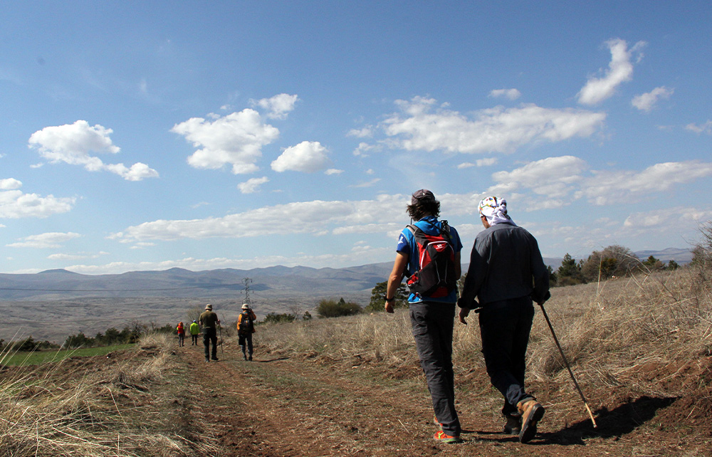
- Byzantine period
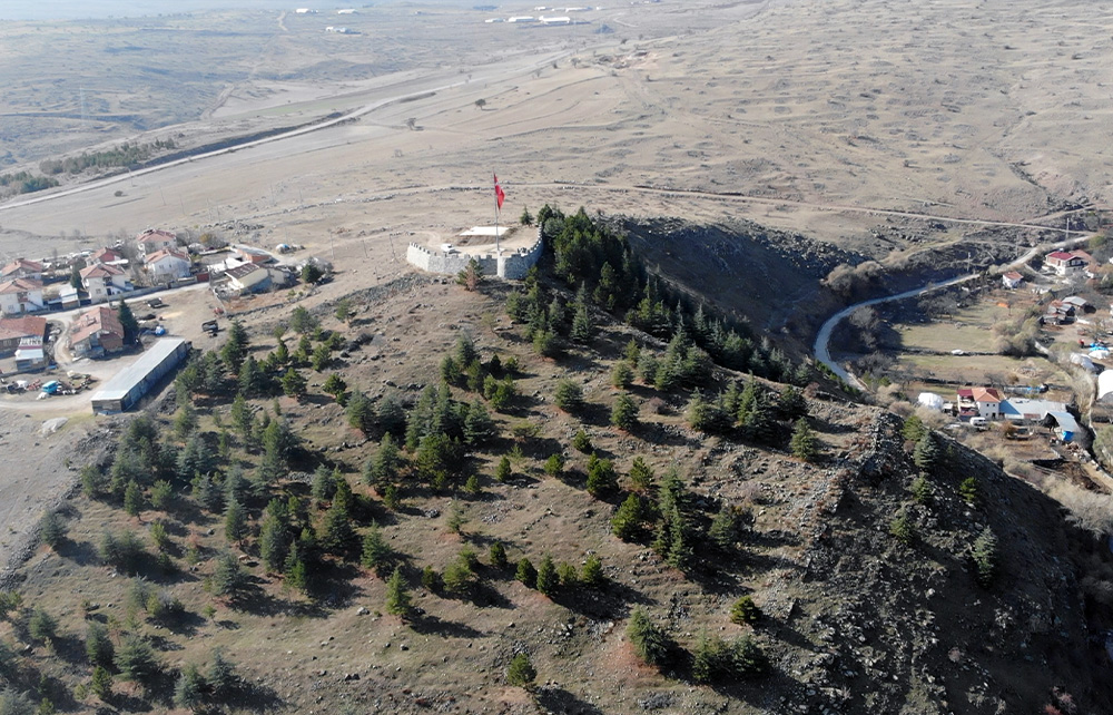
Anadinata Castle
Approximately 450 metres of fortification walls survive on the hill south of the district centre. It is a first-degree archaeological conservation area.
- 11th–16th centuries
Turkmen settlement and tahrir surveys
Tribal names such as Çomartlar and Yazır became embedded in local settlement names. The place is recorded as Karacaviran in sixteenth-century tahrir registers.
- 1717
Pazar Mosque
One of the town's oldest dated structures still standing; restored in 1982.
- 1811
An embassy delegation stops here
Osman Şakir Efendi, a member of the Ottoman delegation travelling to Iran, depicts the posting town of Karacaviran in watercolour.
- 1930s
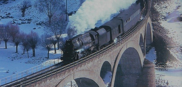
The railway reaches Devrez
The Irmak–Filyos line runs through the town. The steam train winding between snow-covered hills forms part of local memory.
- 1944 and 1951
On the fault line
The Gerede and Kurşunlu earthquakes reshape the fabric of the town.
- 2021
1st International Congress
Approximately 70 speakers and some 60 topics across two halls. The proceedings exceed 1,200 pages.
- 2026
2nd International Congress
On 26–27 December at İvedik Teknopark Ankara Congress Centre.
Scroll sideways to see every stop.
Anadinata (Kurşunlu) Castle
Approximately 450 metres of fortification walls survive on the hill south of the district centre.
Pazar Mosque
One of the town's surviving historic structures.
Şeyh Osman Shrine and Mosque
A shrine with an important place in the region's religious memory.
Çavundur Thermal Springs
Thermal waters and recreation area.
Sumucak Railway Bridge
A historic bridge on the Irmak–Filyos line.
Devrez River and recreation area
The valley in which the town was established. Kızlaryolu Dam and Mehmetçik Forest are also nearby.
- Kurşunlu Municipality360° virtual tour and district guide
- Kurşunlu Historical Research Associationkursunlu.org.tr: events, video archive and publications
- Culture PortalPazar Mosque inventory record